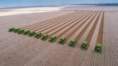
Big data has greatly strengthened the position of precision farming, providing vital information about where, how, and when to plant fields. Data analysis has become an indispensable source of information about the current state of fields, enabling farmers to manage crops and predict yields based on historical information. That’s why now more than ever it’s important to collect and maximize the value of agricultural data.
Today, one of the most common sources of farm data is satellite images. Analyzing the information retrieved from them via modern farm software can help to optimize farm operations and gives farmers an opportunity to expand their business while saving maximum resources and money.
How Satellite Imagery is Used in Agribusinesses
Satellite images are a part of many digital platforms that offer an opportunity to switch to sustainable farm management. They usually imply remote field monitoring, crop growth tracking, pests and weed identification, and much more. Space data is also a good source for computational tools. For example, it can be used to create field maps where agronomists can clearly identify soil types, surface levels, and planting history.
This information allows farmers to decide which crops are best to plant, implement biodiversity conservation and crop rotation policies, and evaluate crop and fertilizer use. With this information, farmers can influence the efficiency of crop production, prevent soil depletion, and increase yields overall. Also, satellite images allow growers to calculate various agricultural indices, such as NDVI, NDWI, or NBR. For instance, NDVI is the most famous index that is used for the evaluation of vegetation state during green phases of crop growth. And if farmers want to distinguish water bodies from vegetation and bare soil, they need to find out how to use NDWI in agriculture. All of this helps to optimize resources and makes it possible to effectively expand the farming business.
How Satellite Imagery Aids in Expanding Agribusinesses
Satellite imagery is an inseparable part of precision farming. And precision farming, as the name suggests, means applying the exact and correct amount of inputs, such as water, fertilizer, pesticides, etc. at the right time to boost yields. Precise farming management practices can greatly reduce the amount of nutrients and other crops used while increasing yields. In this way, farmers profit from their investment by saving money on pesticides, fertilizers, etc, and preserving natural resources.
The second, larger benefit of focusing on inputs concerns the environmental impact. Applying the right amount of chemicals in the right place at the right time benefits the crop, soil, and groundwater, and therefore the entire crop cycle. Consequently, precision farming has become a cornerstone of sustainable agriculture, as it respects crops, soils, and farmers. Sustainable agriculture aims to ensure a continuous food supply within the ecological, economic and social limits necessary to sustain production over the long term. More so, it enables agribusiness owners to expand wisely, while not harming the environment and staying efficient. Here are some of the main points in precision farming practices implementation that allow agronomists to scale up and stay sustainable.
Vegetation Indices
For agronomists, the most important and critical aspect of their work is an objective assessment of the crop state — the basis for making all management decisions. And the larger the farmland, the more difficult it becomes for farmers to keep up. To solve this problem today, vegetation indices are used, allowing for assessing the condition of crops remotely.
There are plenty of them today, but the most popular are NDVI, SAVI, NDWI, ReCl, and NDRE. All of them are designed to solve the issue of evaluating the uniformity of vegetation and track the dynamics of plant development. Almost all vegetation indices can be used in parallel, regardless of the phase of crop development — using several indices for comparison helps create the most complete picture of the state of each field and its zones.
Crop Rotation
Satellite data also enables smart crop rotation planning. That is possible thanks to access to historical satellite images for previous years offering data on which crops were planted and where. The availability of such information makes it possible to objectively analyze the experience of past years and draw reasonable conclusions in the process of planning planting in the current season, which is especially important to plan smart crop rotation on a big farm.
Scouting
With the help of satellite tech, it is possible to identify field problem areas remotely and form a task for the inspection via the app. The scout will receive the task, perform work, and send an online report back to the farmer. This helps agribusiness owners significantly save time and money on scouting, especially when it comes to large areas.
Satellite imagery integrated into modern farm software enables smart and remote farm monitoring, which is critical for those who want to grow their business. Having all the necessary data about all fields in a convenient form in one place will allow for making informed management decisions needed to succeed.